
An old map is not a photograph of a place. It is an argument about it. Someone drew that coastline by hand, guessed at the rivers, filled the empty sea with fish, and decided which towns deserved a little walled circle and which didn't. The symbols carry that argument. Learn a dozen of them and the map stops looking like decoration and starts reading like a document.
The good news is that you don't need Latin, a magnifying glass, or a library card to start. Most of what a beginner needs is printed in plain view, in five or six places on the sheet. Here is where to look, and what you're actually looking at.
Start with the cartouche, not the coastline
The cartouche is the ornamental panel that holds the map's title and credentials. It might be framed by scrollwork, draped fabric, a ruined arch, a pair of classical figures, or a very smug lion. Inside it you will usually find the title, the date, the mapmaker's name, the publisher, the city of publication, and often a dedication to whoever paid for the work.
Read it before anything else, because it tells you why the map exists. A sheet dedicated to a bishop will likely emphasise parishes and dioceses. One dedicated to a merchant company will push harbours and trade routes. Watch for two dates: the date of the geographic information and the date of printing, which can be decades apart. And if the cartouche has been trimmed off, look for the imprint just outside the border, or for a signature or plate number in the margin.
The compass rose tells you which way is up
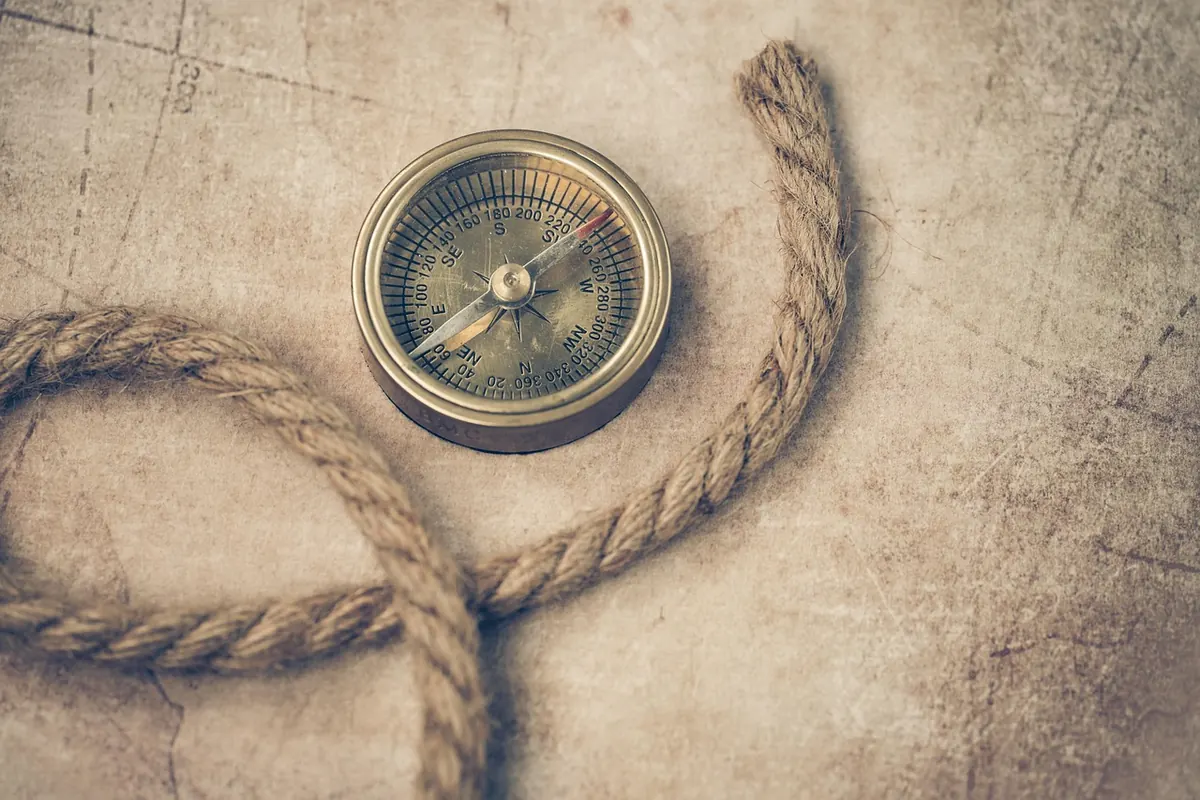
Compass roses usually have eight, sixteen, or thirty-two points. The north point is normally marked with a fleur-de-lis; east is often marked with a cross on older charts. But the crucial thing for a beginner is that the top of the page is not always north. Many medieval and early printed maps were oriented toward the east, which is where our word "orientation" comes from, and some were oriented toward a sacred city or simply toward whatever the engraver found convenient.
So check the rose before you assume anything. If the fleur-de-lis leans to the left, the whole map is rotated relative to a modern one, and your sense of a coastline's angle will be wrong until you adjust. Some maps have no rose at all, only a small arrow or nothing whatsoever, in which case the latitude grid or a comparison with a sibling map is your only clue.
Those radiating lines are not borders
On sea charts especially, you will see straight lines fanning out across the water from a series of small circles. These are rhumb lines, marking compass bearings between points. They form the familiar star pattern and were practical tools for sailors: lay a straight edge along a line and you had a course to steer. They mean nothing on land, and they are not borders, roads, or trade routes, however confidently they cross the sheet.
Separately, you may find a latitude and longitude grid. Look for the numbers running along the border, but don't expect them to match a modern map: prime meridians were counted from Ferro, Paris, Greenwich, or a national capital depending on who made the map. A degree of longitude in the wrong starting point throws everything off by a fixed offset, which is easy to correct once you spot which convention is in use.
Sea monsters are filler, not warnings
Blank water looked unfinished to a sixteenth-century eye. So engravers filled it: whales with suspicious faces, ships under full sail, mermen, wind heads blowing from the corners, clouds given features. Olaus Magnus's 1539 Carta Marina supplied a whole repertoire of sea creatures that later mapmakers copied and recombined for two centuries.
Treat most of them as decoration, but not all of them as meaningless. A monster placed in a specific strait sometimes echoes a sailor's report of a whale or a seal. A ship drawn along a route can hint at a trade line. And a sudden crowd of creatures in an otherwise empty ocean can be a graceful way of saying "we don't know what's here." As for the phrase "here be dragons," it appears on so few surviving objects that it is best treated as a charming exception rather than a rule. Most maps simply left the interior blank.
The scale bar measures miles, but whose?
Scale bars are usually divided into equal segments and labelled with a unit: leagues, statute miles, Italian miles, versts, toises, Roman miles. The unit matters more than the number. A league could mean roughly three miles on land or a very different distance at sea, and a Roman mile is shorter than a statute mile. A bar scale survives copying and reproduction far better than a printed ratio, so measure the bar itself rather than trusting a number in a corner.
Use a pair of dividers, or the edge of a piece of paper with two pencil marks, to lift the bar's length and step it across the map. Then add a caveat: on any projected map the scale varies across the sheet, so a measurement at the top may not hold at the bottom. On a Mercator chart, distance is normally read from the latitude scale at the side, not from the bar.
Legends, symbols, and the pictorial vocabulary
Some maps print a key; many don't, expecting a reader fluent in the conventions of the day. A few symbols recur often enough to be worth memorising:
- Towns and cities: a small circle, a circle with a dot, or a cluster of tiny towers. More towers or rings generally meant a bigger or more important place.
- Buildings in profile: a tiny church, castle, or monastery drawn as if seen from the side, marking a specific institution rather than a settlement.
- Crosses and stars: often cathedrals, bishoprics, or other ecclesiastical centres.
- Lines: dotted lines for boundaries, thin solid lines for roads, thicker shaded bands for rivers.
- Ground symbols: tufts for marsh, little trees for forest, tiny mounds for hills. Earlier maps use "molehill" relief; later ones use hachures, those short parallel strokes that model a slope.
- Numbers in water: soundings, giving depth in fathoms. An anchor marks an anchorage; stippling marks shallows or sandbanks.
- Hand colour: often added later, sometimes centuries later, by a different hand. A green sea is not evidence of the engraver's intention.
Where no key exists, compare the sheet with another map by the same maker or from the same atlas. Symbols are consistent within a workshop, and that consistency is your dictionary.
A practical routine for reading any old map
Work in layers, and work slowly. Find a high-resolution reproduction in a library's digital collection rather than squinting at a framed print, then go in this order:
- Read the cartouche for title, date, maker, publisher, and patron.
- Locate the compass rose and check the orientation.
- Measure the scale bar and write down the unit it uses.
- Hunt for a legend; if there isn't one, compare against a sibling map.
- Inspect the neatline, margins, and imprint for edition marks, plate numbers, or repairs.
- Ask what the map quietly leaves out, and what it draws with suspicious enthusiasm.
That last question is where reading old maps gets interesting. A boldly inked border through contested ground, an interior left conspicuously blank, a river that runs straight for no geological reason: these are choices, and choices have authors. The symbols are just the doorway. Beyond them sits a person in a workshop, working from partial information, trying to persuade someone of something.
Photo: Ylanite / Pixabay